The Central Region in Maps
The Central Region is characterized by the presence of various territorial configurations.
In administrative terms, the Central Region is composed of 100 municipalities. The municipalities are organized into eight Intermunicipal Communities (CIM): Aveiro Region, Coimbra Region, Leiria Region, Viseu Dão Lafões, Beiras and Serra da Estrela, Beira Baixa, West, and Middle Tejo.
In terms of the area of intervention of CCDRC (except for the application of structural funds), the Central Region is composed of 77 municipalities.
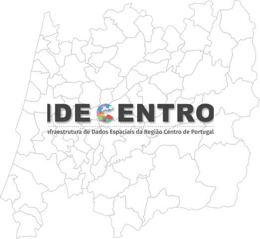
The IDECENTRO is a platform that provides information and geographic services, as well as other resources about the Central Region.
Our municipalities
Our municipalities
The Central Region is characterized by the presence of various territorial configurations.
In administrative terms, the Central Region is composed of 100 municipalities. The municipalities are organized into eight Intermunicipal Communities (CIM): Aveiro Region, Coimbra Region, Leiria Region, Viseu Dão Lafões, Beiras and Serra da Estrela, Beira Baixa, West, and Middle Tejo.
In terms of the area of intervention of CCDRC (except for the application of structural funds), the Central Region is composed of 77 municipalities.
The IDECENTRO is a platform that provides information and geographic services, as well as other resources about the Central Region.
The Central Region in numbers
The CCDRC provides through DataCentro – Information for the RegionDataCentro provides a wide range of statistical indicators from various sources of information that allow users to get to know the Central Region, its NUTS (Nomenclature of Territorial Units for Statistics) and/or municipalities. These indicators can be customized according to user needs or accessed through predefined tables for different levels of geographical disaggregation and visualized through cartograms.
They are organized into major domains (Central Region, QREN, Economic Situation, Europe, CCDRC, and Barometer) and portray the region in terms of the national context, the European framework, the economic situation, the implementation of public policies (QREN – National Strategic Reference Framework), and the main activities carried out by CCDRC in interaction with other regional actors.
Statistics of the region
Statistics of the region
The CCDRC provides through DataCentro – Information for the RegionDataCentro provides a wide range of statistical indicators from various sources of information that allow users to get to know the Central Region, its NUTS (Nomenclature of Territorial Units for Statistics) and/or municipalities. These indicators can be customized according to user needs or accessed through predefined tables for different levels of geographical disaggregation and visualized through cartograms.
They are organized into major domains (Central Region, QREN, Economic Situation, Europe, CCDRC, and Barometer) and portray the region in terms of the national context, the European framework, the economic situation, the implementation of public policies (QREN – National Strategic Reference Framework), and the main activities carried out by CCDRC in interaction with other regional actors.


Leave comment or suggestion